 ← All stories
 Hiking the Apuan Alps above Carrara
Marble mountains, chestnut woods, refuges serving polenta. A three-day traverse, and how to do it.
Marble mountains, chestnut woods, refuges serving polenta. A three-day traverse, and how to do it.
Why the Apuans are different
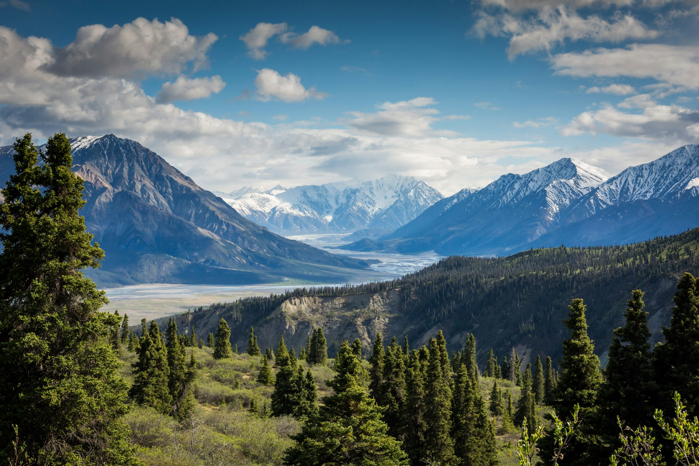
From the autostrada along the Tyrrhenian coast, the Apuan Alps look like a wall: 30 kilometres of steep, white-streaked peaks rising from sea-level beaches to nearly 2,000 metres in less than 10km of horizontal distance. That gradient is what makes them feel bigger than they are — peaks topping out around 1,900m feel like 3,000m alpine summits.
The whiteness is marble. The same Carrara marble Michelangelo carved is still being quarried from these mountains, and the working scars on the western faces look from a distance like permanent snow. (They are not — even in August the temperature on the high ridges reaches 25°C.) The combination of marble cliffs, chestnut forests, and the visible sea below makes the views unlike anywhere else in Italy.
Crucially, the Apuans are uncrowded. The Dolomites get a million hikers a season; the Apuans get a fraction of that. Refuges that would be fully booked six months ahead in the Dolomites can usually be had with two weeks' notice in the Apuans. The trails are well-marked by CAI (Club Alpino Italiano) but rarely paved with footfall.
The classic three-day traverse
The route most worth doing is the Colonnata → Rifugio Carrara → Rifugio Conti → Forno traverse. It crosses the central ridge of the range and gives you the best mix of marble landscapes, ridge walking, and forest descent. Three days, two refuge nights, about 34km total, around 2,000m of cumulative elevation gain.
Day 1 — Colonnata to Rifugio Carrara. Start at Colonnata (the marble-quarry village above Carrara, also famous for lardo). The trail begins at the village's main square, climbs steeply through chestnut woods, breaks out onto open pasture, then up to Rifugio Carrara at 1,580m. 10km, 1,100m elevation gain, 5–6 hours. The refuge has 40 beds, dinner included for €45, breakfast €8.
Day 2 — The ridge to Rifugio Conti. The long day. From Rifugio Carrara, the trail crosses the open central ridge with views down to the Tyrrhenian coast on one side and the Garfagnana valley on the other. Some scrambling on bare polished marble — this is where conditions matter. Finish at Rifugio Conti at 1,442m. 13km, 800m gain / 950m descent, 6–7 hours.
Day 3 — Down to Forno. Long descent through chestnut forest to the village of Forno (480m). A bus from Forno connects to the train station at Massa for the return journey to Carrara. 11km, 1,000m descent, 4–5 hours.
When to go
Mid-June through end-September. The two refuges typically open mid-June (the date depends on snow) and close end-September. Outside that window the high passes are dangerous (avalanche risk into May, then snow returns in October).
July and August have the warmest weather but also the most hikers. Refuge bookings are essential; book a month ahead. Daytime temperatures on the ridges reach 25°C; nights drop to 12°C.
June and September are quieter and arguably better. Wildflower meadows on the high pastures peak in mid-June; September gives you crisp clarity, low cloud-base, and chestnuts already falling in the forests on Day 3. Book two weeks ahead. Nights can drop to 5°C — bring a layer.
Avoid the week of Ferragosto (15 August), when Italians take their holidays and the refuges run at capacity.
What to take
Boots. Sturdy walking boots with good grip. The polished marble on Day 2 is properly slippery when wet — running shoes are not enough.
Trekking poles. Worth bringing for the long descent on Day 3 (1,000m down on knees).
Layers. A breathable shell for wind on the ridges, a fleece for evenings in the refuges, a thin down jacket if you're going in June or September.
Head torch. Refuges have electricity but it cuts off around 22:00.
Sleeping-bag liner. Refuges provide blankets but not sheets. A silk or cotton liner is mandatory.
Maps. Tabacco 1:25,000 sheet 101 (Alpi Apuane) or the CAI's own 1:30,000 series. GPX tracks are widely available but a paper map is required if your phone fails.
Cash. Refuges generally take cards now but bring €100 in cash as backup.
Booking the refuges
Both refuges (Rifugio Carrara and Rifugio Conti) are managed by CAI sections in Massa-Carrara province. Book directly by phone — websites exist but bookings often go to voicemail unless you phone.
Rifugio Carrara (+39 0585 841 972, www.rifugiocarrara.it). 40 beds, dinner included €45, breakfast €8. CAI members get a discount.
Rifugio Conti (+39 333 451 0490). 25 beds, dinner included €42. Slightly smaller and more atmospheric than Carrara.
Confirm the booking by email or WhatsApp once made. Arrive at refuges by 17:00 — dinner is served at 19:00 and lights-out is 22:00. If you'll be late, phone ahead.
Variants and shorter alternatives
If three days is too much, two good shorter walks from the Apuans:
Pizzo d'Uccello day climb. Drive to Vinca (small village above Fivizzano), follow the trail up to the col, then a scramble (Grade I) to the 1,781m summit. Famous for its near-vertical north face. Six hours round trip, 1,200m of elevation gain. Not technical but exposed in places.
Foce di Pianza loop. Drive to Colonnata, walk up the marble road to Foce di Pianza (4km, 90 minutes), have lunch at the rifugio, walk back. Half a day, no overnight needed, lots of marble landscape.
Monte Sagro day climb. The most prominent peak of the Apuans (1,749m). Trailhead at Campocecina (drive). Six hours round trip; the summit ridge has spectacular drops on both sides.
After the hike — Carrara and the marble quarries
Reward yourself with a day in Carrara. The town itself is unprepossessing but the marble quarry tours from the Cava Romana visitor centre (book ahead) are remarkable — Jeeps drive into active quarries the size of cathedrals, with marble extracted in 30-tonne blocks by diamond-wire saw.
Eat lardo di Colonnata where it's cured: any restaurant in Colonnata village serves it on warm focaccia. Pair with a glass of Vermentino from the Lunigiana hills — see the food and wine pillar for the wider Tuscan wine map.
Read next. Our Massa-Carrara region pillar covers the wider province; Lucca is an easy base for hiking the Apuans without staying in refuges. For something flatter and coastal afterwards, the Elba car-free guide is the natural sea-side counterpoint.
Frequently asked.
- How long does the Apuan Alps traverse take?
- Three days for the classic Colonnata → Forno route, with overnight stops at Rifugio Carrara (day 1) and Rifugio Conti (day 2). Daily distance is 10–14km, with 800–1,200m of elevation gain. Reasonable for fit hikers; not a beginner route.
- Do I need special equipment for hiking in the Apuan Alps?
- Sturdy walking boots with grip (the marble can be polished and slippery when wet), trekking poles, layers (the high ridges can be cool even in August), and a head torch. No via-ferrata equipment is required for the main route. Maps from CAI or Tabacco 1:25,000 series.
- When is the best time for the Apuan Alps traverse?
- Mid-June through September. Refuges typically open mid-June and close end-September. July and August have the warmest weather but also crowds; bookings are essential. June and September are quieter; expect cool nights (down to 5°C).
- Do I need to book refuges in advance?
- Yes — a month ahead in July and August, two weeks in June and September. Rifugio Carrara and Rifugio Conti both have CAI membership rates (cheaper if you're a member of an Alpine club). Bring a sleeping bag liner; refuges provide blankets but not sheets.
Keep reading.
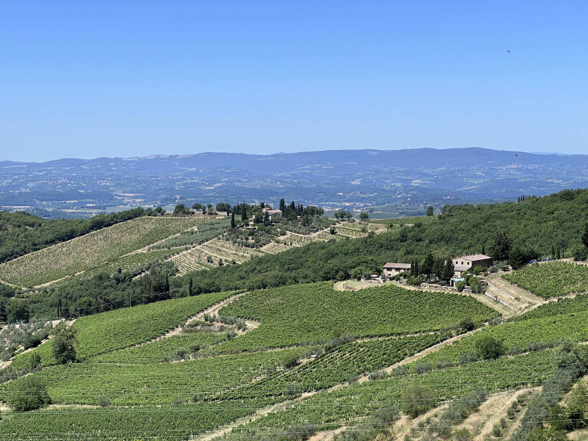
Seven slow days across Chianti
A practical itinerary between Florence and Siena — with three cellars worth the detour.
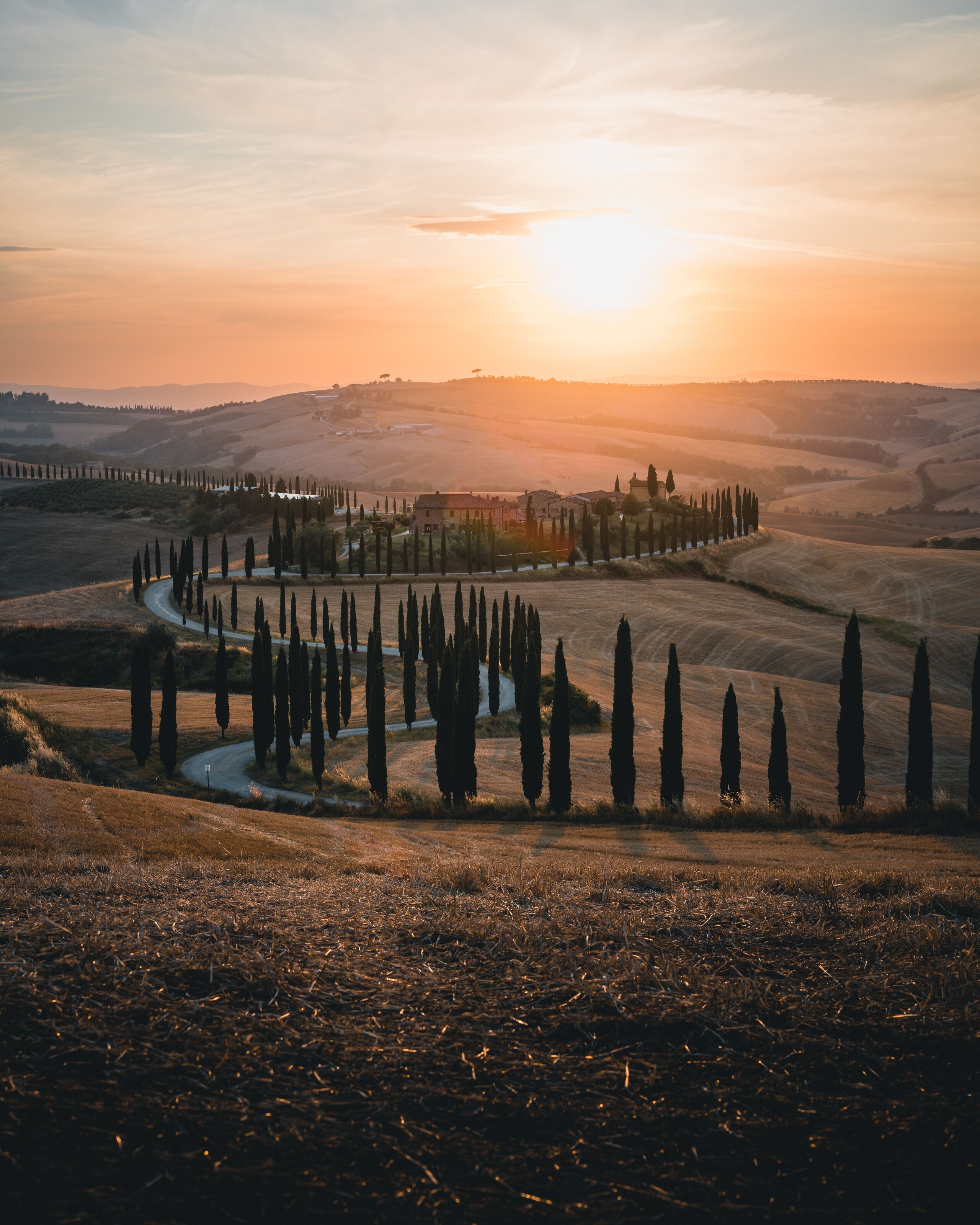
Pienza and the Val d'Orcia, a guide
The Renaissance-pope's experiment in town planning, and the photogenic countryside around it.
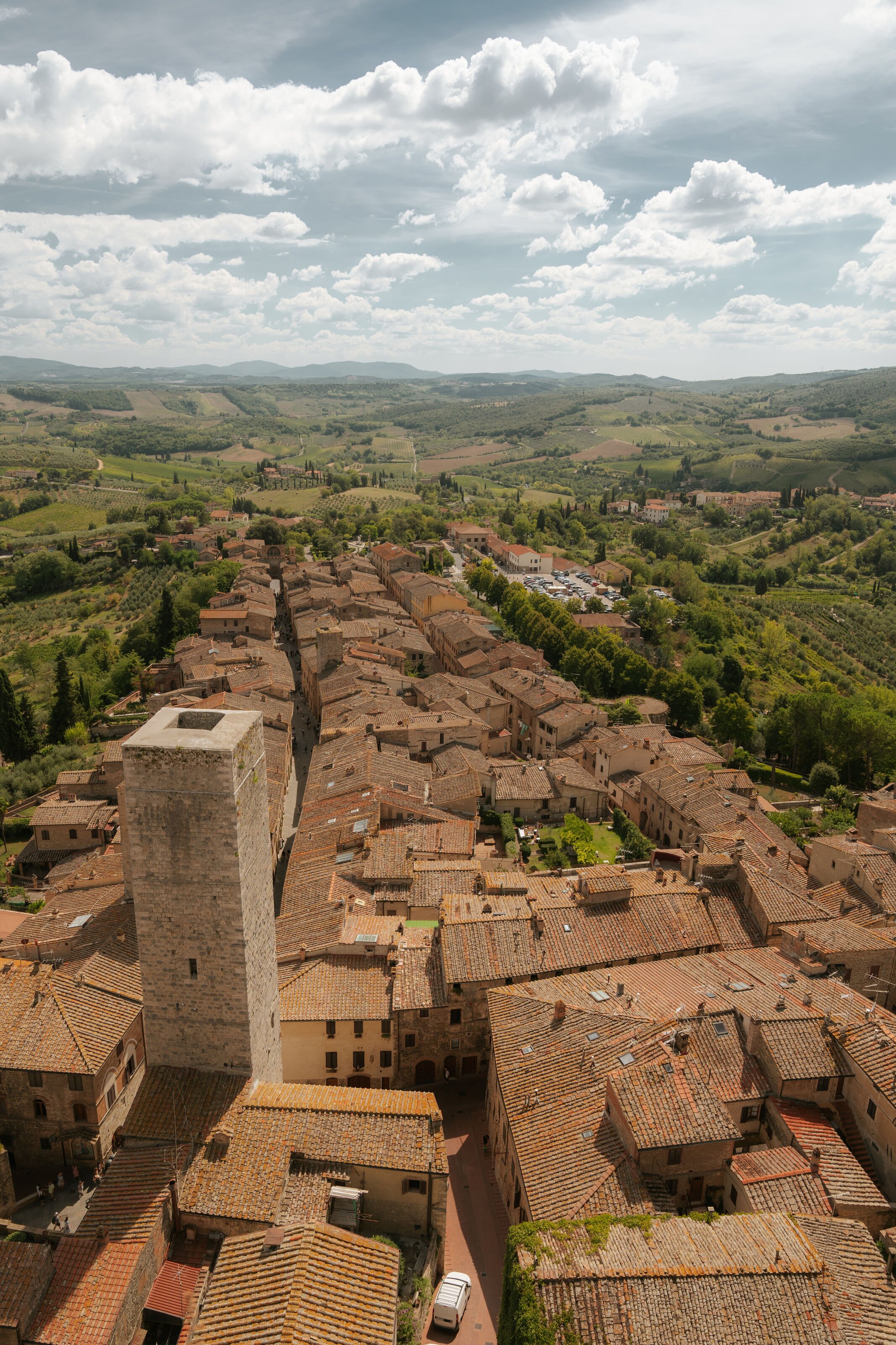
San Gimignano — the towers, demystified
Medieval Manhattan, day-trip or overnight, where to eat without the tourist menus.